These applets are based on algorithms published in the following books:


Click here for the table of contents and a 20% discount coupon
- H. Samet, The Design and Analysis of Spatial Data Structures, Addison-Wesley, 1990
- H. Samet, Applications of Spatial Data Structures, Addison-Wesley, 1990
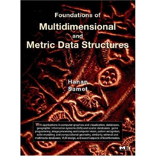
- H. Samet, Foundations of Multidimensional and Metric Data Structures, Morgan-Kaufmann, 2006
A short course on some of the algorithms and data structures used in these applets was held at UC Berkeley on March 29-31, 1999.
If you are interested in these spatial index demos, check out our spatial data browser and spatial database engine: SAND Internet Browser
Recent Feature Updates
Window and Range search were replaced by the more general Overlap Search feature.
Within Query and various query object types (e.g., polygon, sector) were added to support richer nearest neighbor searches.
Spatial Datastructures Visualization
Instructions and further information about the visualization tool can be found below.
Your browser cannot handle Java applets.
Points
- Point Quadtree Demo
- K-d Tree Demo
- MX Quadtree Demo
- PR Quadtree Demo
- Bucket PR Quadtree Demo
- PR K-d Tree Demo
- Bucket PR K-d Tree Demo
- PMR Quadtree Demo
- PMR k-d Demo
- 2D Range Tree Demo (old version here)
- Priority Search Tree Demo (old version here)
- R-Tree Demo
- PK Tree Demo
- Voronoi Diagram Demo
- Delaunay Triangulation Demo
Rectangles
Lines
Region Quadtrees
Operations
For an explanation of the implemented algorithms as well as their visualization and animation, click on one of the following links:- Insert Operation
- Move Operation - Click and drag the object nearest to the mouse cursor. The data structure changes dynamically as the object is being moved.
- Delete Operation
- Overlap Search Query
- Window Query
- Nearest Neighbor Query
- Within Query - Works like nearest neighbor but stops when objects are farther than the given distance.
Other Features
- Grid - Shows alignment of quadtree blocks with a regular grid. Press + or - to adjust resolution.
- Zoom In/Zoom Out - Explore areas in more detail or zoom out for an overview.
- Zoom Window - Magnifies a selected area in a separate window for detailed inspection.